Last Updated: March 8, 2026
When it comes to ensuring the safety and stability of any property, topographical surveys are key players. They map out the land to reveal natural and man-made features, helping property owners gauge potential risks. This is especially useful for residents in Florida, where the landscape varies greatly, from flat coastal areas to hills and slopes inland. The challenges that come with managing such diverse terrain call for a good understanding of slope stability, a factor crucial in preventing erosion or landslides.
Imagine owning a hillside property in Florida. It might seem stable, but hidden factors could lead to dangerous slides, particularly during intense rainfall or hurricane conditions. Topographical surveys provide insights into these unseen threats, allowing you to take preventative measures. This kind of awareness protects not just your investment, but also the safety of the people living or working there.
Learn more about our land surveying services in Port Charlotte.
Understanding Slope Stability

Slope stability is all about a hill or slope’s ability to resist movement or collapse. In Florida, this becomes a major focus for property owners due to the area’s unique blend of soil types, varying weather patterns, and human impact. Here’s why understanding slope stability is vital:
– Soil Type: Florida’s soil varies greatly. Sandy soils common in coastal areas are prone to erosion, while clayey soils inland can become unstable when wet.
– Vegetation: Plant life contributes to slope stability by anchoring soil with roots. Removing vegetation can destabilize a slope, increasing the risk of landslides.
– Water Content: Water plays a huge role in slope stability. Heavy rainfall can saturate soil, making it heavier and more likely to slide.
– Human Activities: Construction and other human activities can disturb the natural balance of a slope, leading to instability.
For Florida residents, these factors are more than theoretical concerns. Take, for instance, construction projects that alter natural drainage patterns. Without proper planning, these changes can increase the risk of slope collapse. By considering these elements, property owners can anticipate problems and implement solutions, ensuring that slopes remain safe and secure.
How Topographical Surveys Detect Slope Stability Issues
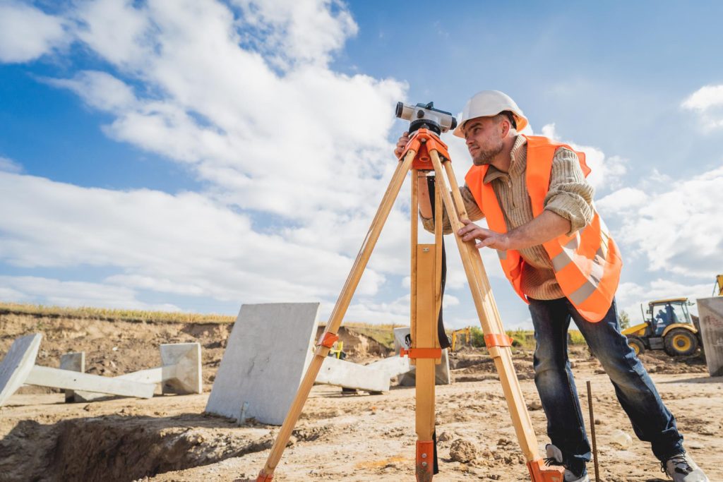
Topographical surveys play a crucial role in assessing the stability of slopes, especially given Florida’s varied terrain. These surveys involve mapping the surface features of a land area to understand its contours and slopes. This process helps identify any irregularities that might lead to slope instability. Surveyors use tools like theodolites, levels, and drones to gather precise elevation data, creating a detailed model of the land.
When checking for slope stability, surveyors look for specific indicators. They measure slope angles to determine steepness, inspect drainage patterns to see how water flows, and analyze vegetation cover. These elements help in understanding how water and soil interact, which is vital in a place like Florida where heavy rains are common. Using advanced technology, such as LIDAR and GIS, surveyors can detect minute shifts in the landscape that aren’t visible to the naked eye. This foresight helps in pinpointing areas that might become unstable in the future.
Impact of Slope Stability Issues on Properties

The consequences of ignoring slope stability can be severe. Unstable slopes can lead to landslides, which pose huge risks to properties and lives. Soil erosion is another problem, gradually wearing away the land and undermining the foundations of buildings. For example, a minor slope erosion near a Florida home might initially seem harmless. Yet, over time, it can escalate into a serious threat, damaging the property and decreasing its value.
Early detection of these issues is key to safeguarding properties. Recognizing warning signs allows property owners to take action before major deterioration occurs. This proactive approach not only preserves property value but also ensures the safety of inhabitants.
Steps to Take After Identifying Slope Stability Issues

Once potential instability is found, the next step is to consult with land surveyors who can provide a detailed assessment and recommend solutions. Here are some practical steps that property owners can follow:
1. Manage Water Drainage: Redirect water flow using proper drainage systems to prevent soil saturation.
2. Reinforce Slopes: Use retaining walls and other structures to support and stabilize slopes.
3. Plant Vegetation: Introduce deep-rooted plants that help anchor the soil, reducing erosion risks.
4. Regular Monitoring: Continue observing the slope for any changes, especially after heavy rains or construction work nearby.
Addressing slope stability issues ensures that your property remains safe and habitable. Regular inspections and maintenance can prevent minor problems from escalating into major disasters.
Ensuring a Stable Future for Your Property
Embracing topographical surveys to tackle slope stability challenges is a savvy move for anyone in Florida. By understanding the potential risks that your property might face, you can take proactive measures to prevent problems before they arise. Protecting your property not only maintains its value but also guarantees the safety and peace of mind for everyone living or working there.
Remember, when it comes to slope stability, staying informed and prepared is key. Engaging experts who understand the unique dynamics of Florida’s terrain will empower you to keep your land safe and sound for years to come.
For anyone in Florida looking to ensure the stability and safety of their property, considering a topographical survey could make all the difference. Will’s Service Group is ready to assist with expertise in tackling unique challenges presented by the local landscape. Learn more about how this essential survey can safeguard your investment and enhance peace of mind today.
Accurate elevation and geodetic data used in topographical surveys is maintained by the NOAA National Geodetic Survey.
The Florida Department of Environmental Protection regulates land use in areas prone to erosion and slope instability.
Frequently Asked Questions
What does a topographical survey show?
A topographical survey maps the natural and man-made features of a property, including elevation changes, drainage patterns, trees, buildings, utilities, and contour lines. Engineers and architects use this data to plan grading, drainage, and construction.
How much does a topographical survey cost in Cape Coral?
Topographical survey costs in Cape Coral and Southwest Florida typically range from $400 to $1,200, depending on the lot size, vegetation density, and level of detail required. Larger parcels and heavily wooded lots cost more.
When do you need a topographical survey in Florida?
You need a topographical survey before any new construction, major landscaping project, drainage improvement, or site development in Florida. Lee County and the City of Cape Coral often require topo surveys as part of the permitting process.
Schedule Your Survey Today
Will’s Service Group provides accurate, licensed land surveying services throughout Cape Coral, Fort Myers, Lehigh Acres, Naples, and Port Charlotte. Whether you need a Topographical Survey or any other survey type, our experienced team delivers reliable results on time. Call us today at (239) 478-4242 or place an order online to get started.