
Last Updated: March 8, 2026
A topographical survey for drainage planning gives Florida homeowners the detailed elevation data needed to manage water flow and prevent flooding. Drainage isn’t usually top of mind for most homeowners until water starts pooling around the house or sinking into low spots in the yard. That’s when things begin to feel more urgent. In Florida, where the ground stays relatively flat and heavy rains are common, runoff without a path can quickly become a problem. A topographical survey takes the guesswork out of figuring out where water is going and why it’s collecting where it shouldn’t. It maps elevation changes, even the ones that are hard to see, so you can make better decisions before spring rains arrive. Late winter is the ideal time to start making these plans, while the weather is cooler and before stormy conditions start showing up.
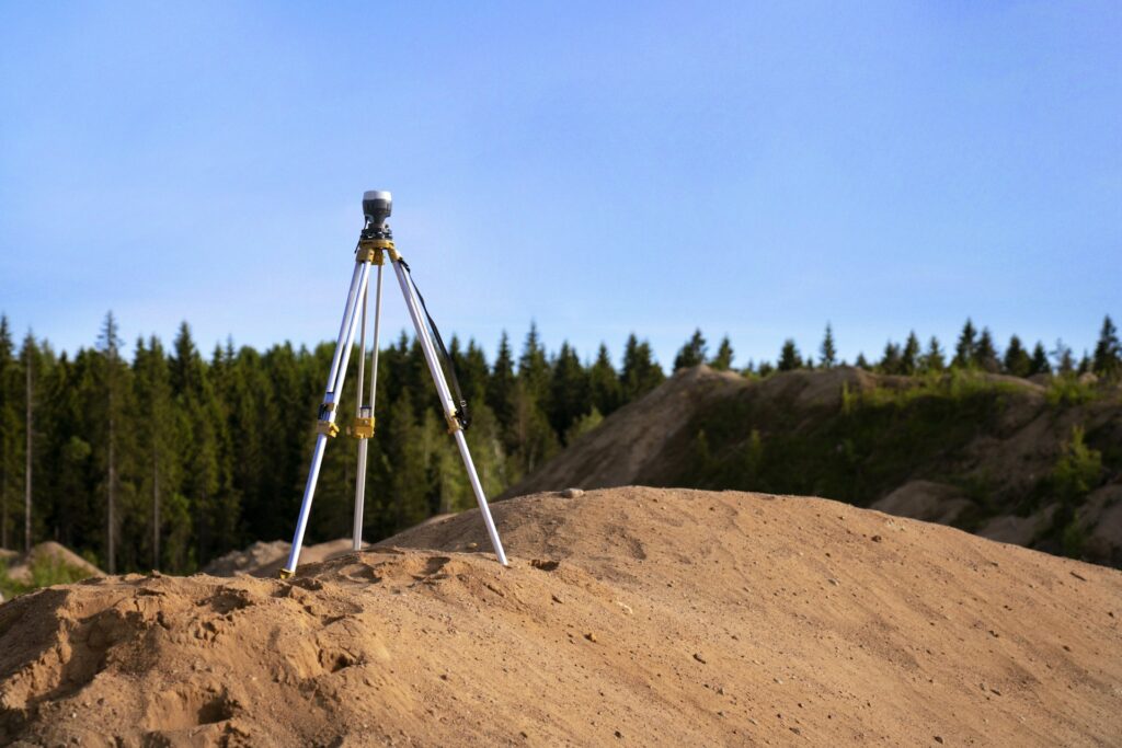
Investing in a topographical survey for drainage planning before breaking ground is one of the smartest decisions a Florida homeowner can make.
How a Topographical Survey Supports Drainage Planning

For many homeowners in Florida, drainage problems seem to pop up overnight. But they often build gradually, especially during months of heavy rainfall or after a dry spell followed by a deluge. Since the terrain here is so level, water doesn’t always move efficiently without help.
Learn more about our land surveying services in Port Charlotte.
These are a few early warning signs to keep an eye on:
- Standing water that lingers in your yard or driveway, especially along sidewalks or near the foundation
- Soil erosion around the base of your home or between lawn sections
- Cracks in slab foundations or crawl space walls linked to shifting soil
- Damp patches next to your home that never dry fully after a storm
Ignoring them too long could lead to structural damage, soggy landscaping, and even mold growth near exterior walls. Fixing drainage now, before the spring rains hit, helps avoid larger repair jobs later on.
What a Topographical Survey Shows About Your Property
When we run a topographical survey, we document the shape of the land, not just its borders but the ups, downs, and everything in between. That includes physical features like driveways, tree lines, elevation drops, and spots where water naturally collects.
Here’s what this kind of survey typically includes:
- A map showing elevation contours and slope direction across your property
- Identified high and low points that influence water flow
- Key site features such as buildings, fences, paved areas, and drainage lines
On our service page, Will’s Service Group explains that our topographical surveys use laser and GPS equipment to measure elevation and feature location, ensuring details are accurate for both large properties and small residential lots.
By looking at this data, we can figure out how water moves through the yard during a storm and where it may get stuck. What may look flat to the eye can actually have meaningful dips that affect water direction. This helps Florida homeowners get ahead of problems that may not be visible during dry spells.
Using Survey Data to Design Better Drainage
Once we’ve collected the topographical data, we can use it to make practical drainage plans. Even small corrections in grading make a noticeable improvement in how fast and far water travels away from a structure.
Here’s how we typically use the information:
- Design swales or shallow ditches that guide rainwater away from buildings
- Adjust slope grades to stop pooling next to driveways, patios, or walls
- Plan where to place drains or dry wells that catch runoff from hard surfaces
- Suggest landscape changes, like mulched berms, that manage overflow naturally
Every fix we suggest is based on what the land is already showing us. That way, we avoid creating new trouble spots while solving the old ones. Relying on the real site shape, not guesses, keeps us from installing a drain in a useless spot or creating a puddle where there used to be none.
Why Late Winter is the Right Time to Start Planning

The time between late February and early March is one of the best windows for checking in on your drainage setup. Cooler days make outdoor planning easier, and the spring rains haven’t come in full yet. Drainage issues that built up during the fall and early winter often start to show more clearly now.
Walking around your property during or right after a light rain can be very revealing. Sagging soil, damp patches around the steps, or runoff crossing your sidewalk all tell part of the story. If you’ve seen any of these signs indoors, like watermarks on garage walls or drywall near the baseboards staying damp, those are worth paying attention to too.
Starting with a survey now means you have time to fix things before bigger problems appear. Contractors schedule up quickly once the spring season starts. Waiting until signs become worse usually means longer delays and more complicated fixes.
Florida’s relatively mild winters give us a head start, so using February to get ahead of the rain is worth the effort.
Better Drainage Planning Leads to Fewer Headaches Later
Small drainage problems can turn into expensive ones if they’re ignored for too long. Water almost always finds a way into places it shouldn’t be. When it does, it can cause damage that’s difficult and costly to make right.
Assessing your property with a topographical survey gives you a clean view of what’s happening below your feet. Instead of reacting to soggy spots or guessing why the garden floods, you’ll know exactly what the land is doing. From there, you can make changes that suit your home and the way water already moves across it.
Will’s Service Group also notes that our survey drawings can be used by engineers or landscape designers for grading and construction planning.
Getting a head start in late winter gives you time to design plans that actually work. It keeps small problems from growing and sets your yard and your home on firmer ground for the months ahead.
Soggy spots and uneven drainage around your yard are often signs that your property’s contours may be causing water to flow where it shouldn’t. We use a topographical survey to identify subtle slopes and low points that impact rainwater direction, allowing us to create solutions that help protect your foundation and outdoor living areas. At Will’s Service Group, we believe in preventing issues before they start, so contact us to schedule an assessment before spring storms hit.
The Florida Department of Environmental Protection provides additional guidance on stormwater management and drainage requirements.
Property owners can view elevation and drainage data through the Lee County GIS mapping portal.
Understanding topographical survey drainage planning helps Florida property owners make informed decisions about their land and investments. Contact Will’s Service Group for professional guidance tailored to your specific needs.
Frequently Asked Questions
What does a topographical survey show?
A topographical survey maps the natural and man-made features of a property, including elevation changes, drainage patterns, trees, buildings, utilities, and contour lines. Engineers and architects use this data to plan grading, drainage, and construction.
How much does a topographical survey cost in Cape Coral?
Topographical survey costs in Cape Coral and Southwest Florida typically range from $400 to $1,200, depending on the lot size, vegetation density, and level of detail required. Larger parcels and heavily wooded lots cost more.
When do you need a topographical survey in Florida?
You need a topographical survey before any new construction, major landscaping project, drainage improvement, or site development in Florida. Lee County and the City of Cape Coral often require topo surveys as part of the permitting process.
Schedule Your Survey Today
Will’s Service Group provides accurate, licensed land surveying services throughout Cape Coral, Fort Myers, Lehigh Acres, Naples, and Port Charlotte. Whether you need a Topographical Survey or any other survey type, our experienced team delivers reliable results on time. Call us today at (239) 478-4242 or place an order online to get started.

